
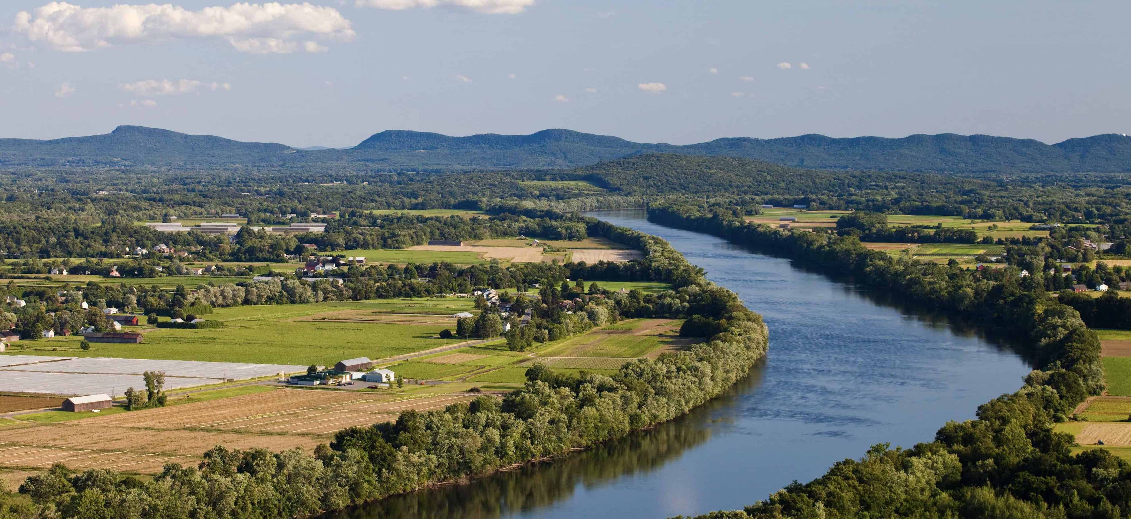

 The town of New Salem underwent significant changes due to the construction of the Quabbin Reservoir, which serves as the primary source of drinking water for nearly half of Massachusetts. A large portion of the town has been transformed into restricted wilderness under the jurisdiction of the Department of Conservation and Recreation.
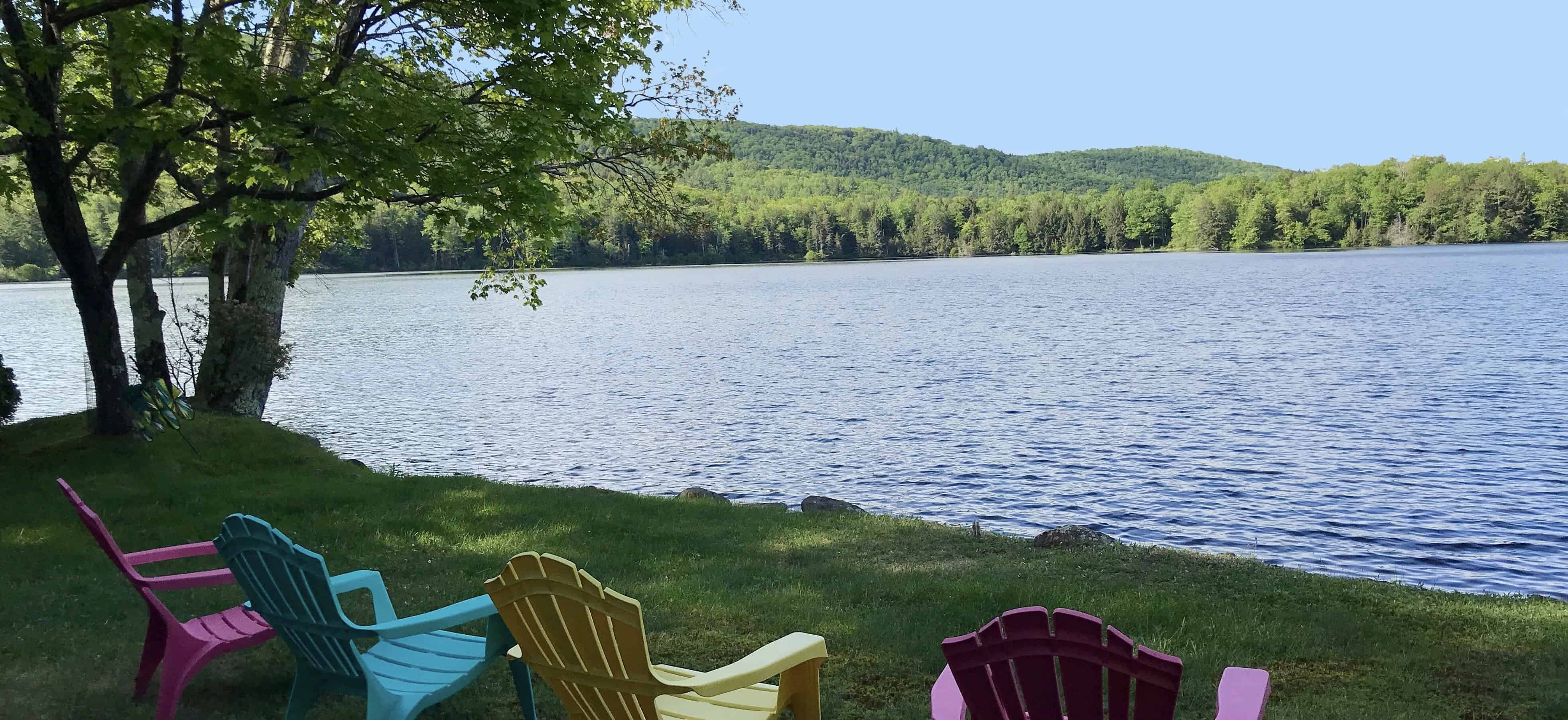
On a positive note, residents of New Salem enjoy close proximity to a sprawling 39-square-mile reservoir encompassing 81,000 acres of reserved land. This vast area offers opportunities for fishing, hiking, birdwatching, hunting, biking, and various other outdoor activities.
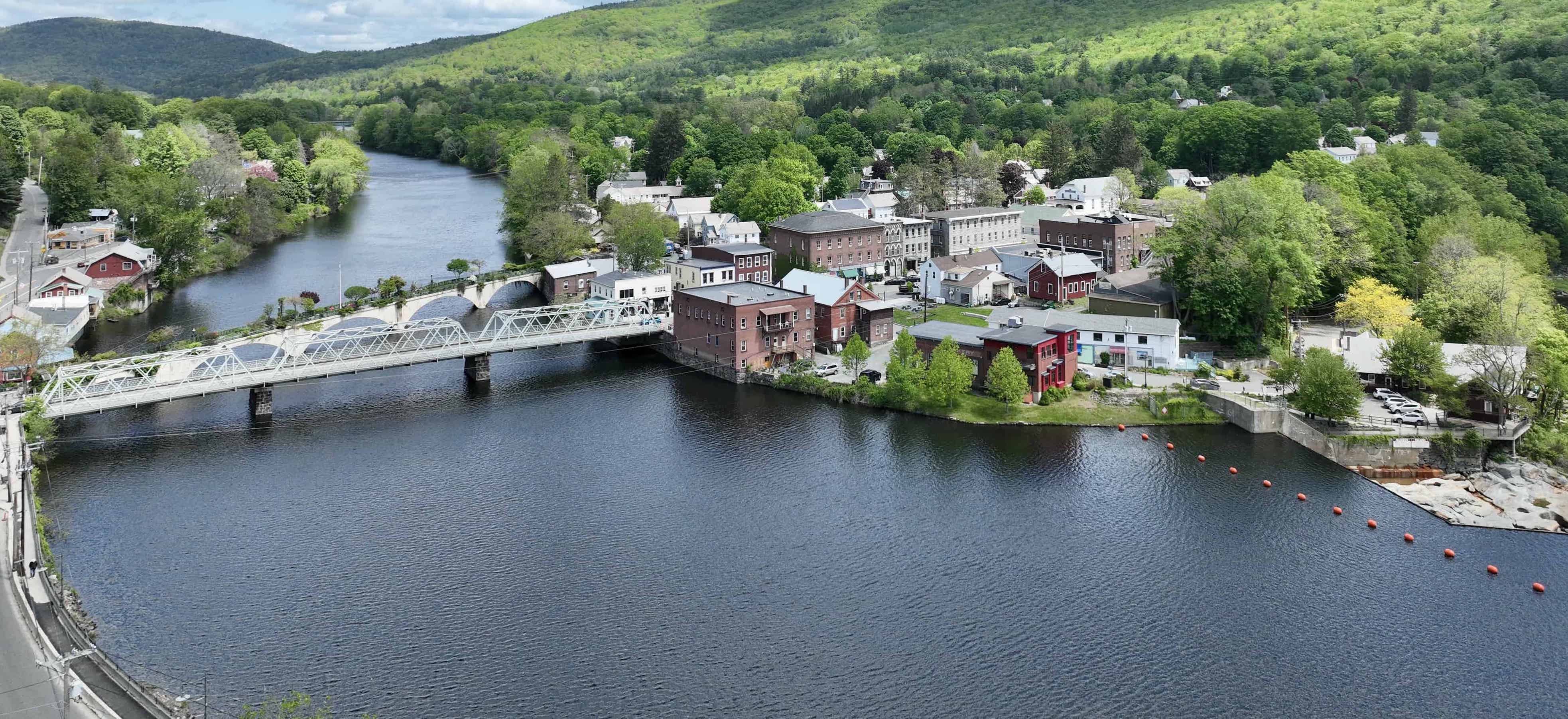
New Salem lies in the southeastern corner of Franklin County and is the county's largest town. It shares its borders with Orange to the north, Petersham to the east, Ware to the south, and Pelham, Shutesbury, and Wendell to the west. Situated to the south of MA Route 2, the primary route through New Salem is U.S. Route 202.
The Outdoors
Near the Quabbin Reservoir is another nature reserve called Bear’s Den. Covering six acres, this site features an impressive 100-foot deep gorge, historically known as a gathering spot for Native American tribes. The short, moderately difficult trail offers access to a stunning waterfall.
Art & History
The formation of the Quabbin Reservoir led to the flooding of four adjacent towns. The Swift River Valley Historical Institute exhibits the history of these submerged towns. Another historical site, the 1794 Meeting House, was once a church and now serves as a performing arts center where concerts and fundraising events are held.
If you are looking to buy a single family home, land to build your dream home, farm, or second home in New Salem, Mass, click here for the latest list of what is currently on the market. You can also contact Wanda Mooney to learn more about the area and the process of moving.
--
For more information about community happenings and real estate news visit Wanda's Blog at www.wandamooney.com/blog.


Connect