


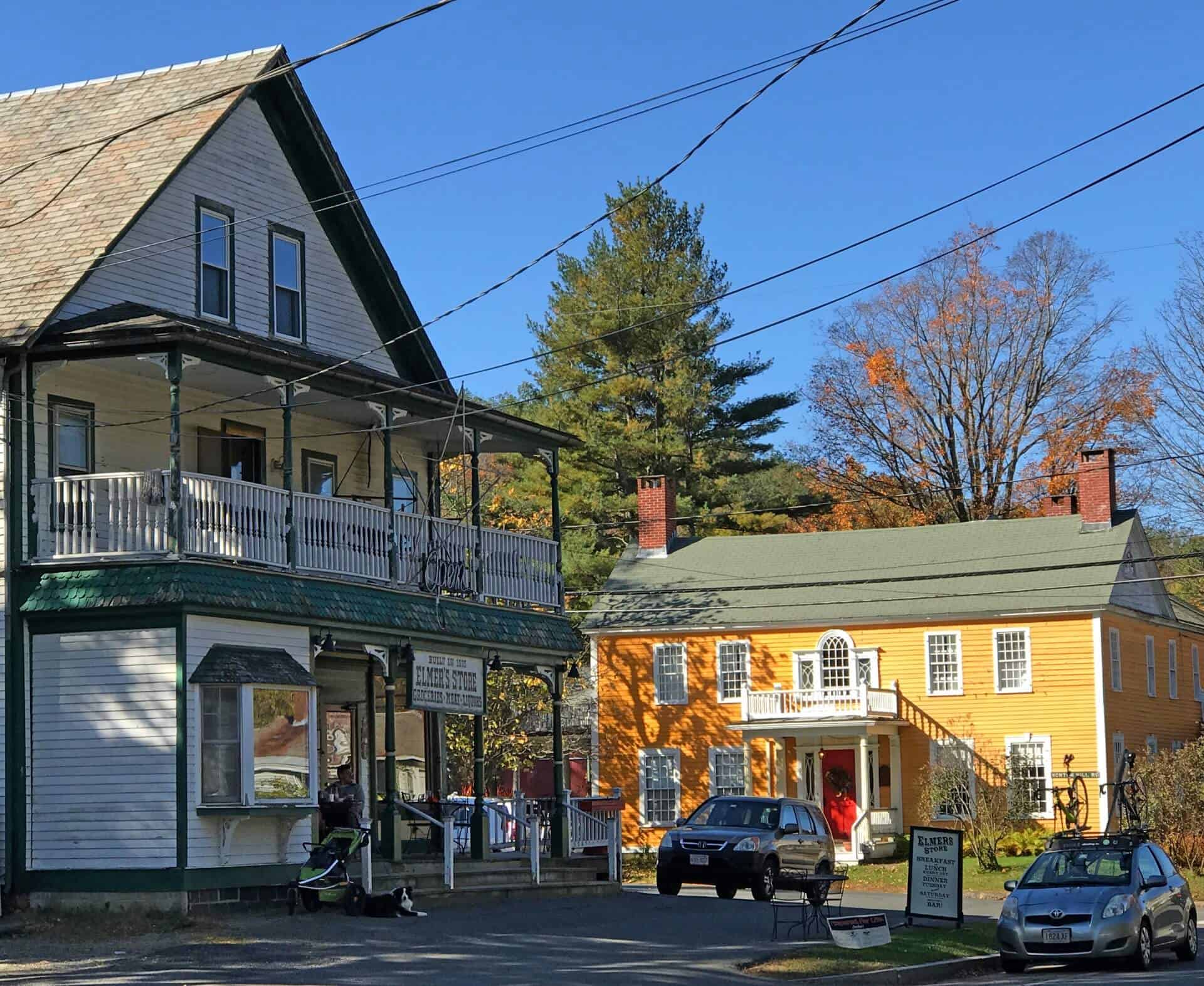

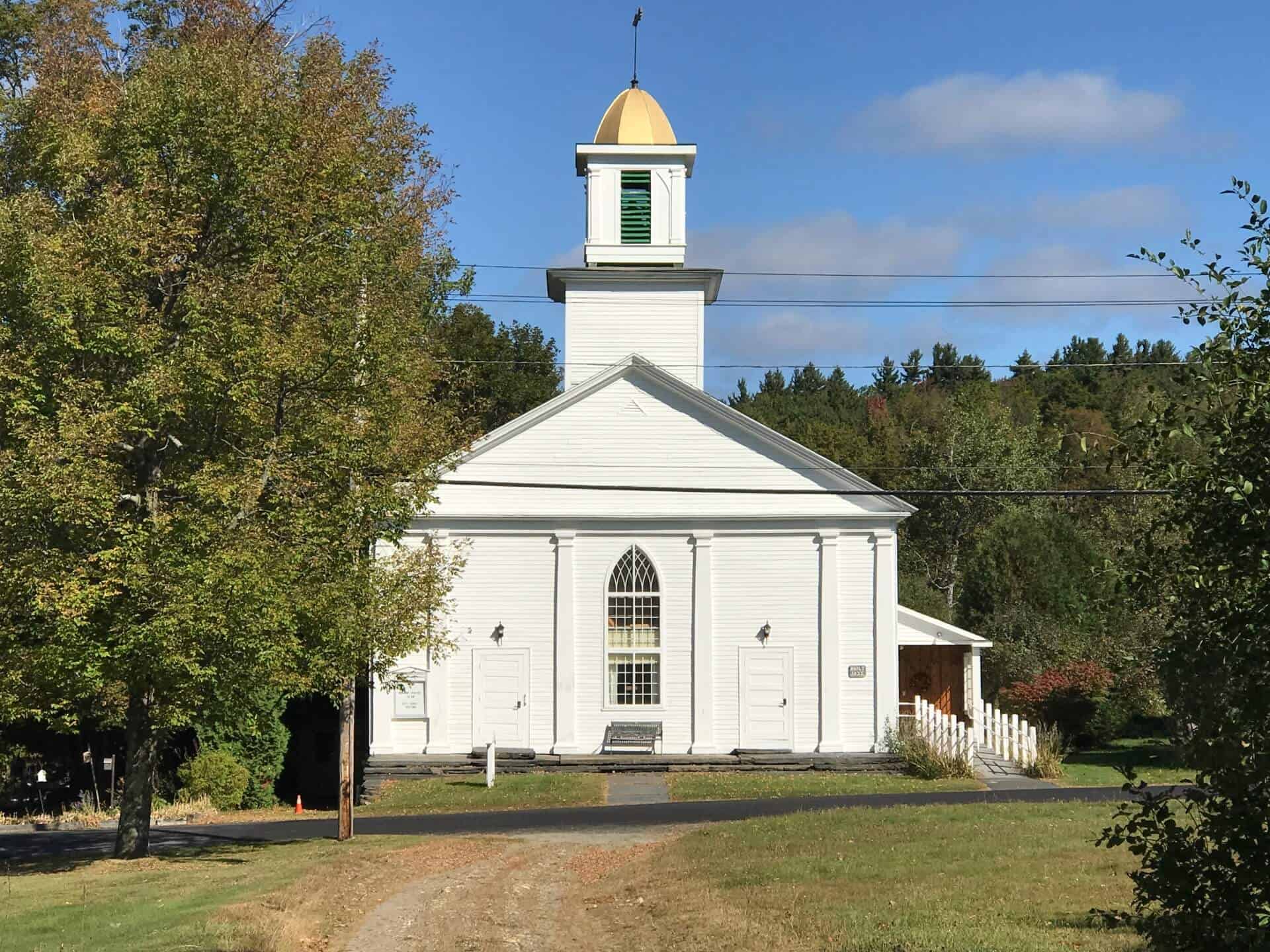
Ashfield was incorporated in 1765 with four Proprietors serving as Selectmen and is still today a Proprietor Town. By 1840, Ashfield was the leading wool-producing town in Franklin County, and by 1855 it was the leading producer of butter and had 14 sawmills or woodworking shops.
Today, Ashfield continues to have an agricultural industry. Many local farmers produce fiber from sheep, grow fresh vegetables, produce meat and dairy products, honey, and maple syrup, and grow Christmas trees. The Ashfield Farmer's Market is located on the Town Common from May to October.
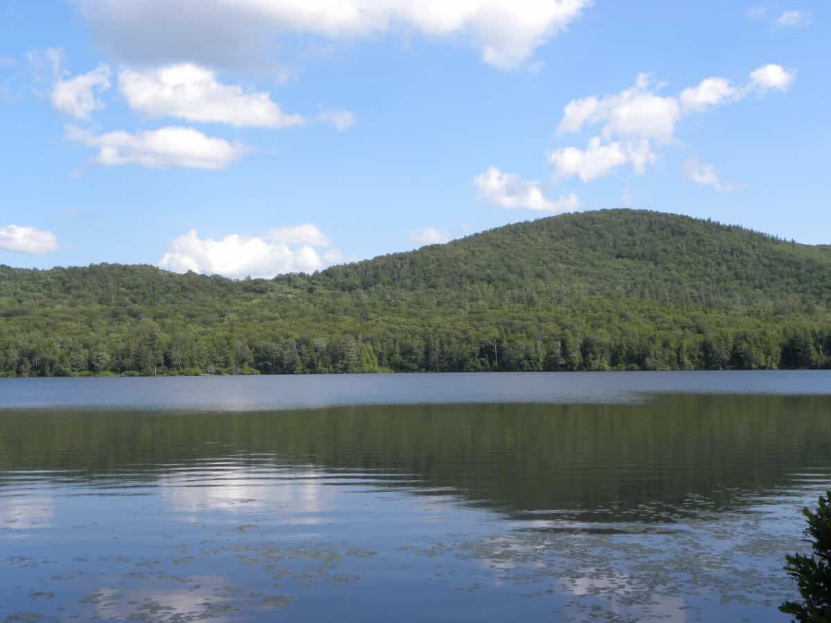
The Town of Ashfield has many recreation activities including a 9 course golf course, Ashfield Lake, Bear Swamp Reservation, Ashfield Trails, Chapel Falls, and abuts the DAR State Forest. Other fun things to do around Ashfield include cross-country skiing, snowmobiling, fishing, and hiking.
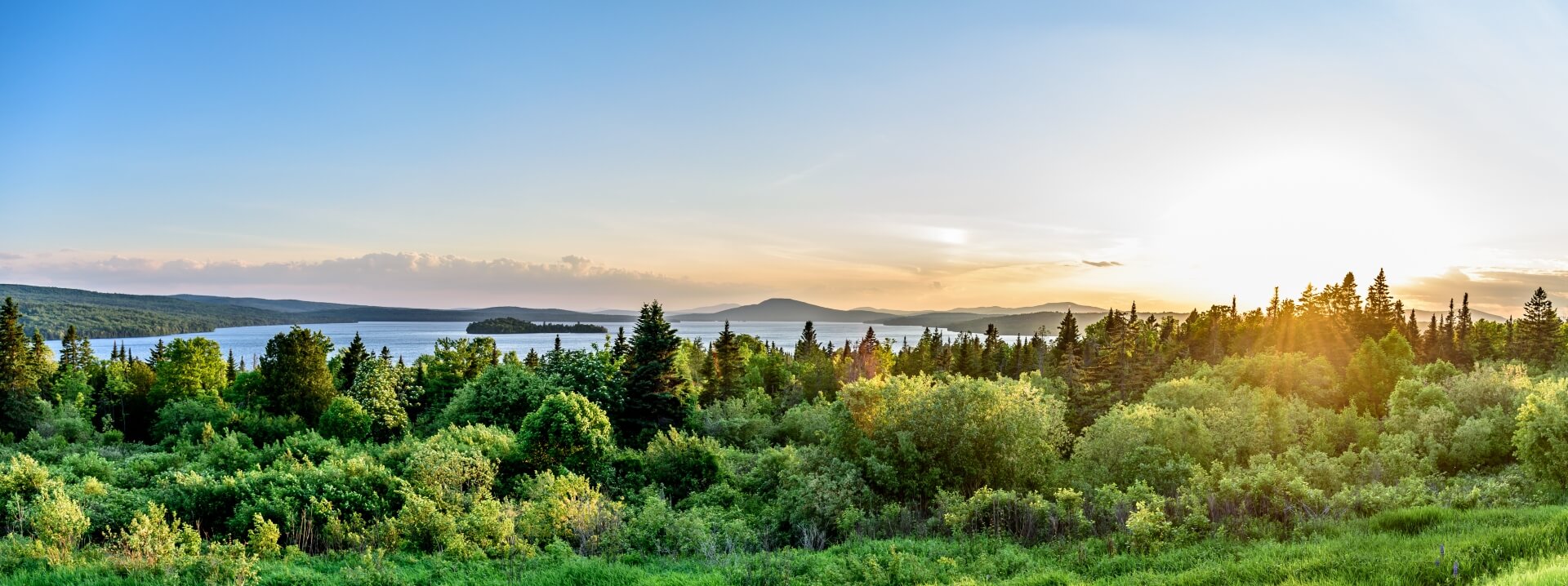
Ashfield is part of the hill-towns of western Franklin County. It is conveniently located 30 minutes from Northampton and Greenfield and only 15 minutes from Shelburne Falls.


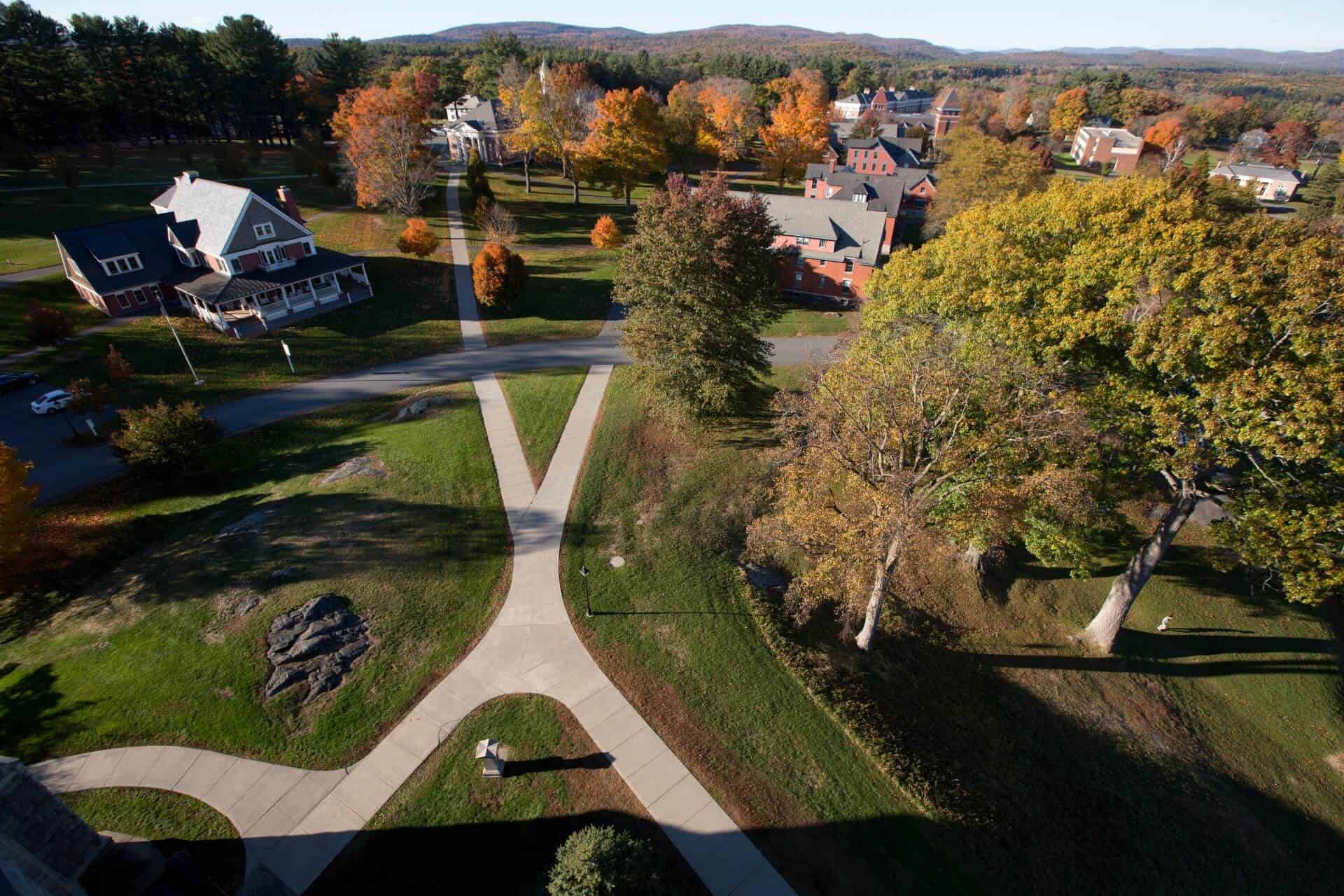
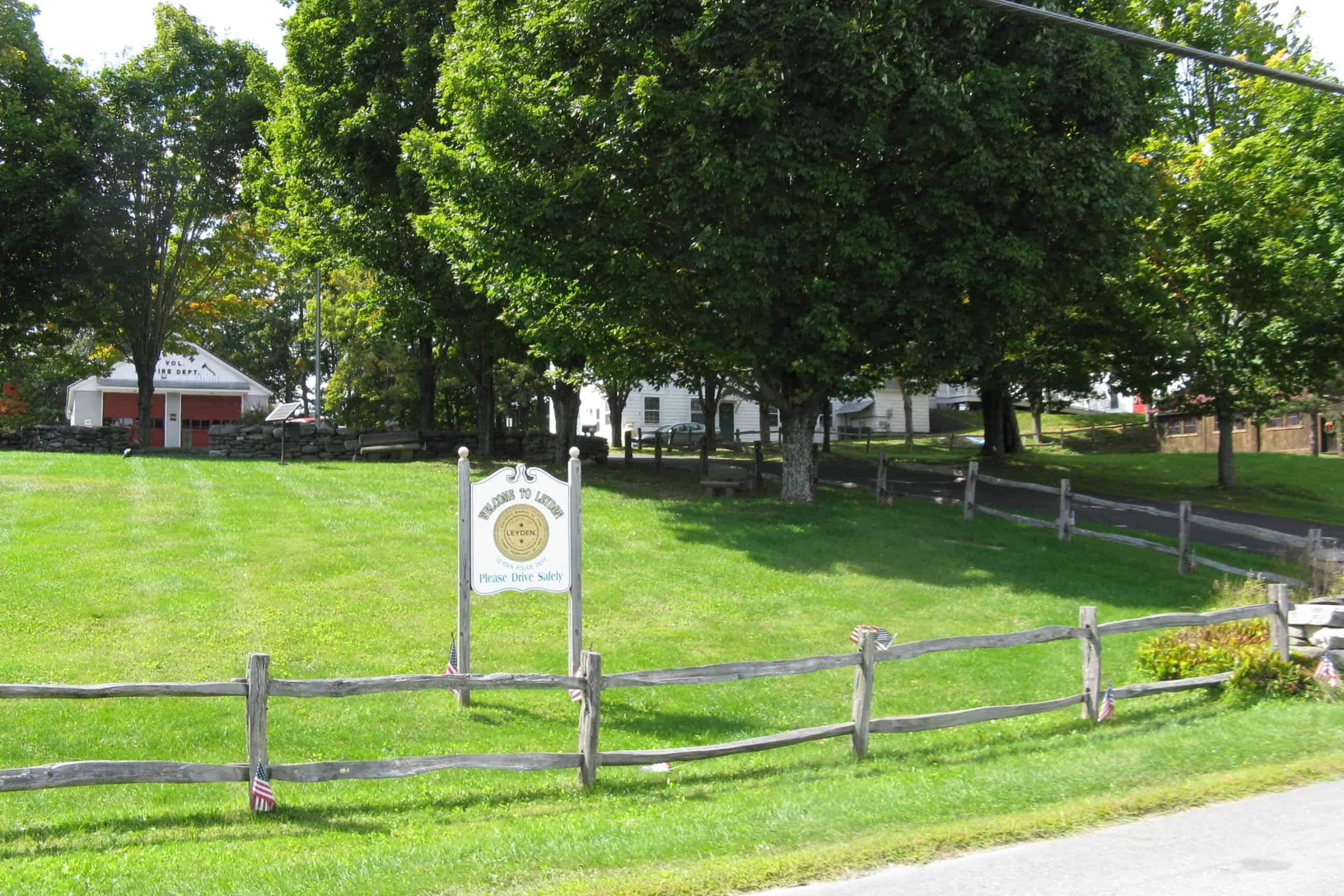
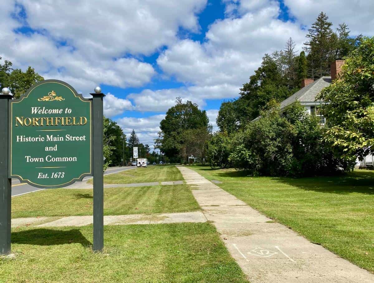
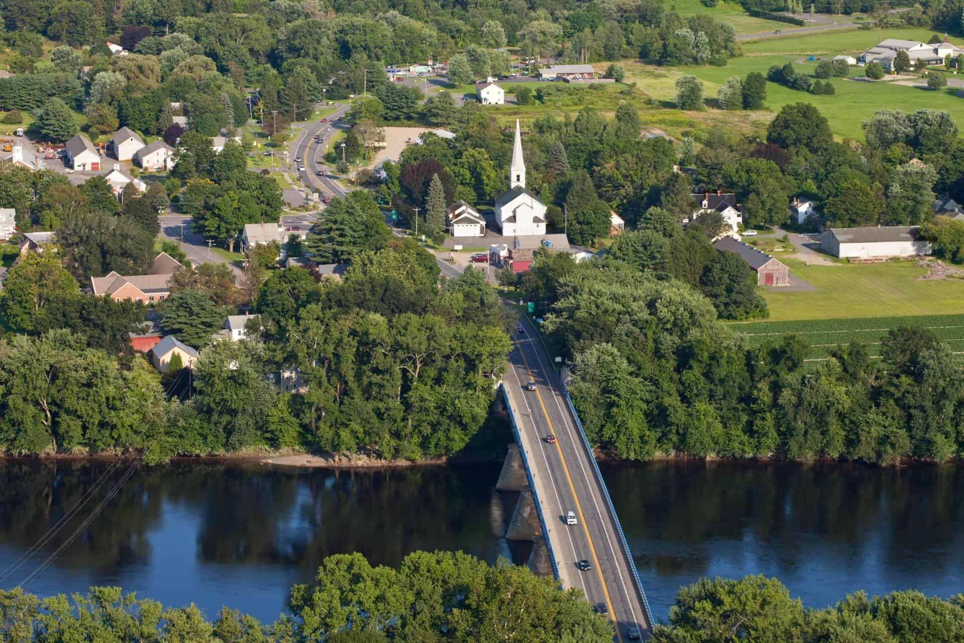
 The town of Gill is located east of Greenfield and Turners Falls and approximately with approximately 1,500 residents. The town is named in honor of Moses Gill, a member of Massachusetts' Executive Council who became lieutenant govenor in 1794 and acting governor in 1799 when Governor Increase Sumner died. Gill died in 1800, leaving the state without a governor and acting governor for the first and only time in its history. Gill for many years benefited from river traffic. The "Grass Hill" section eventually became home to noted evangelist Dwight L. Moody's Mount Hermon School in 1881, which merged with Northfield School for girls to become Northfield Mount Hermon School more than 20 years ago.
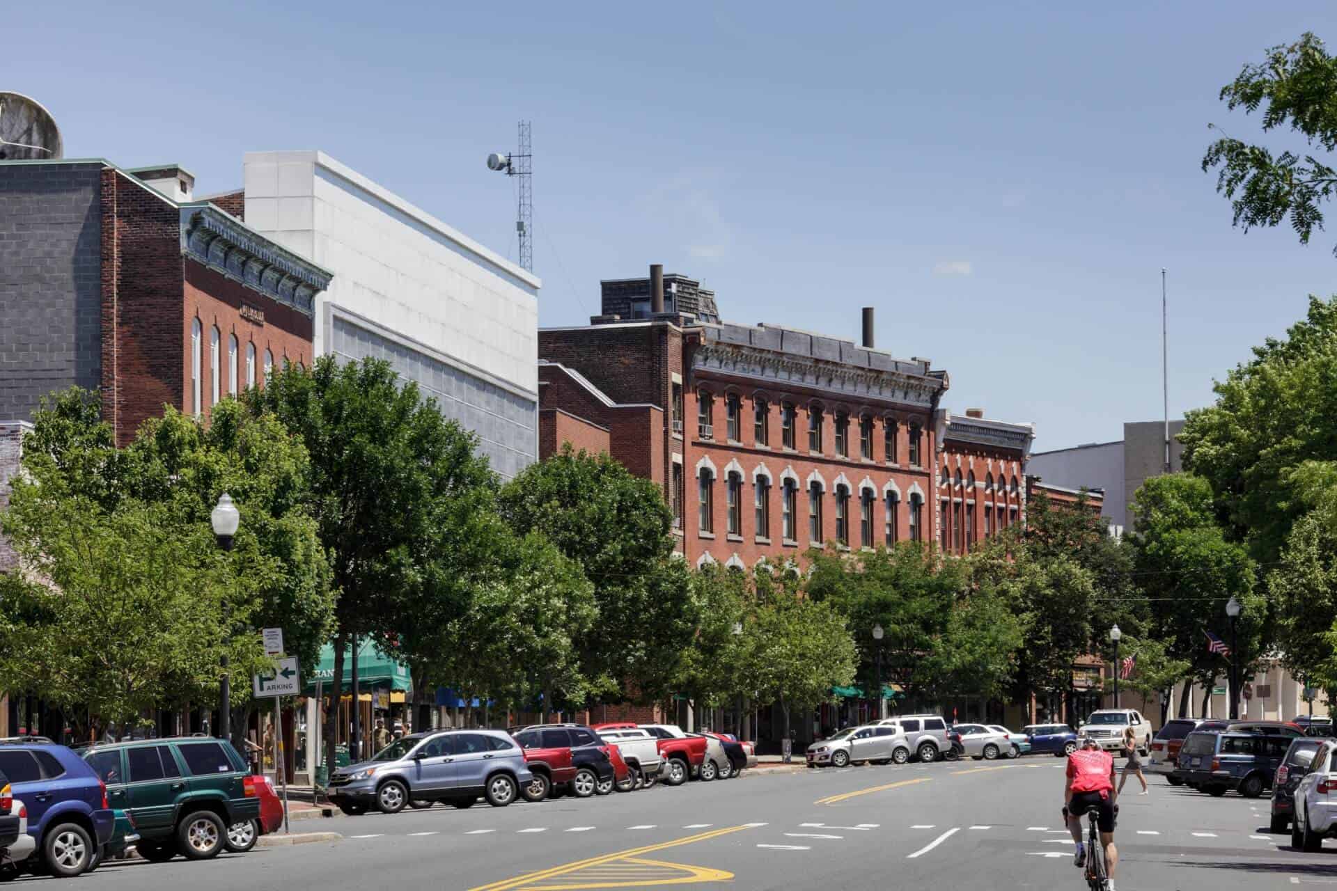


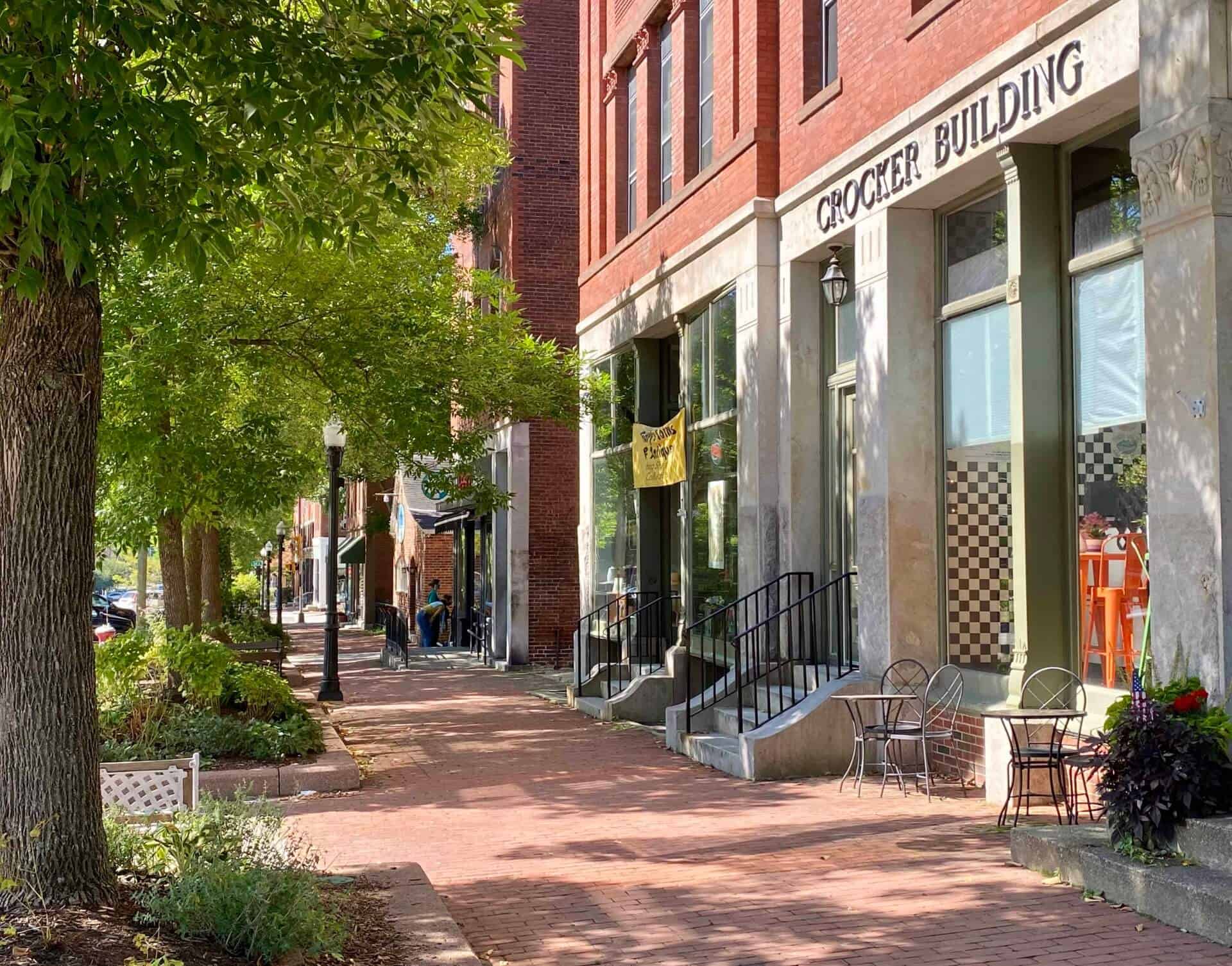
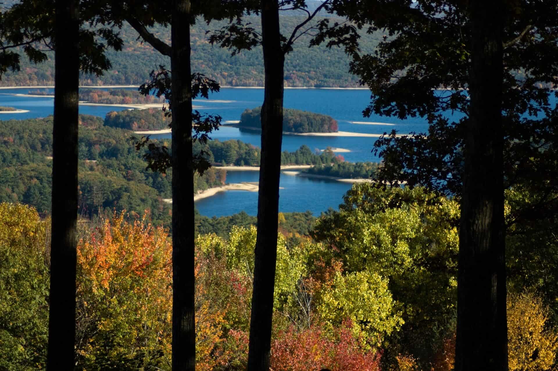
 Living in
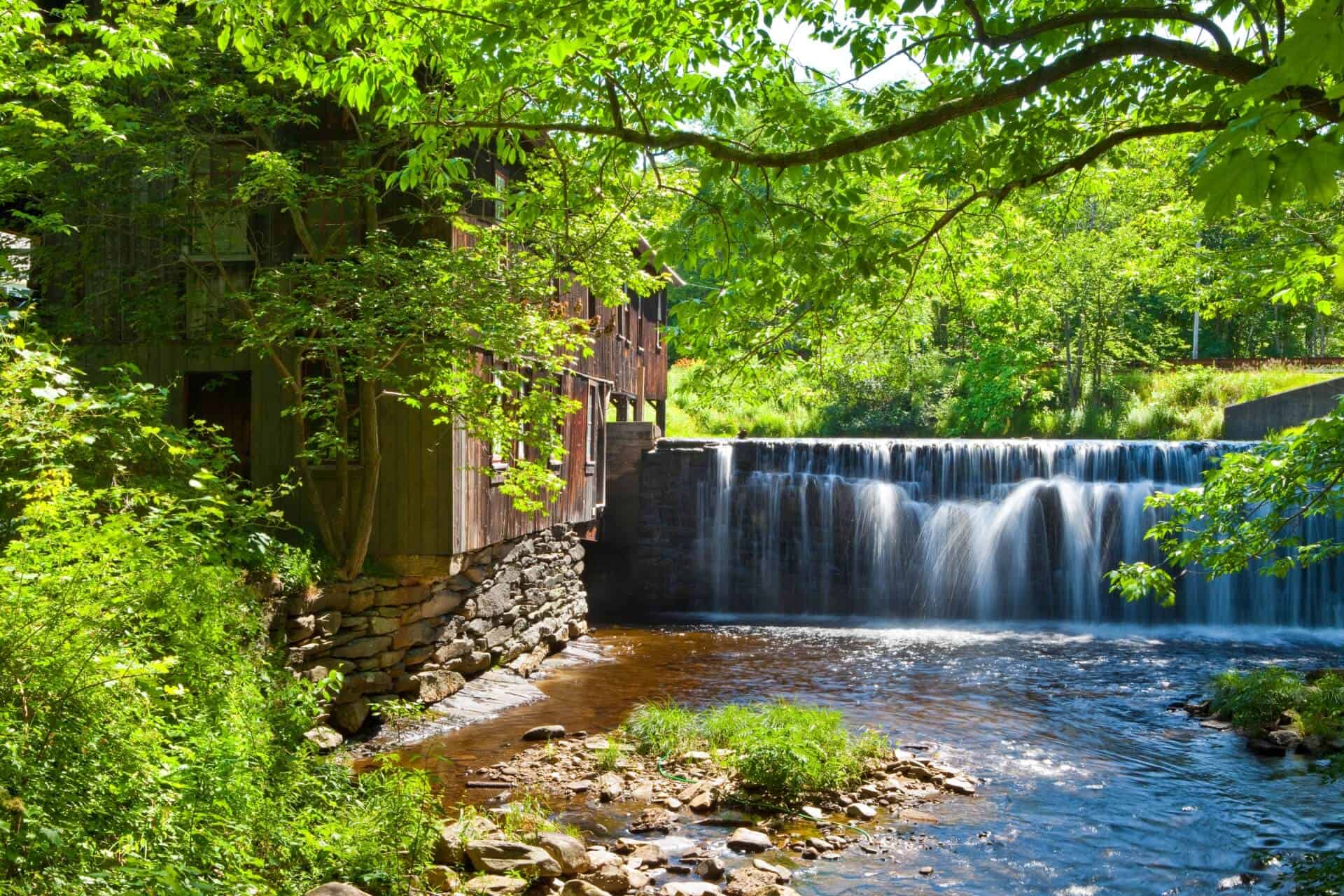

.jpeg)


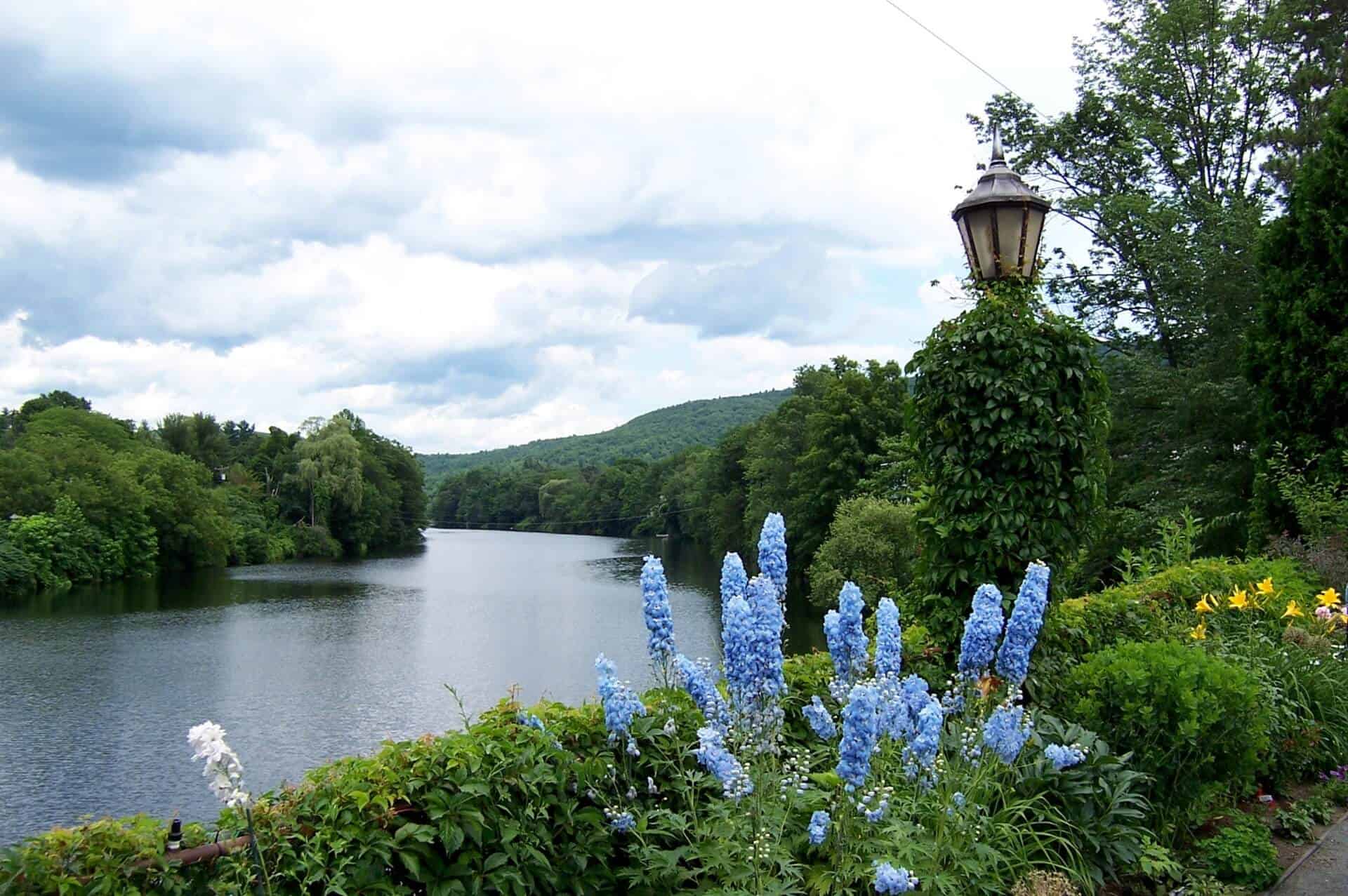
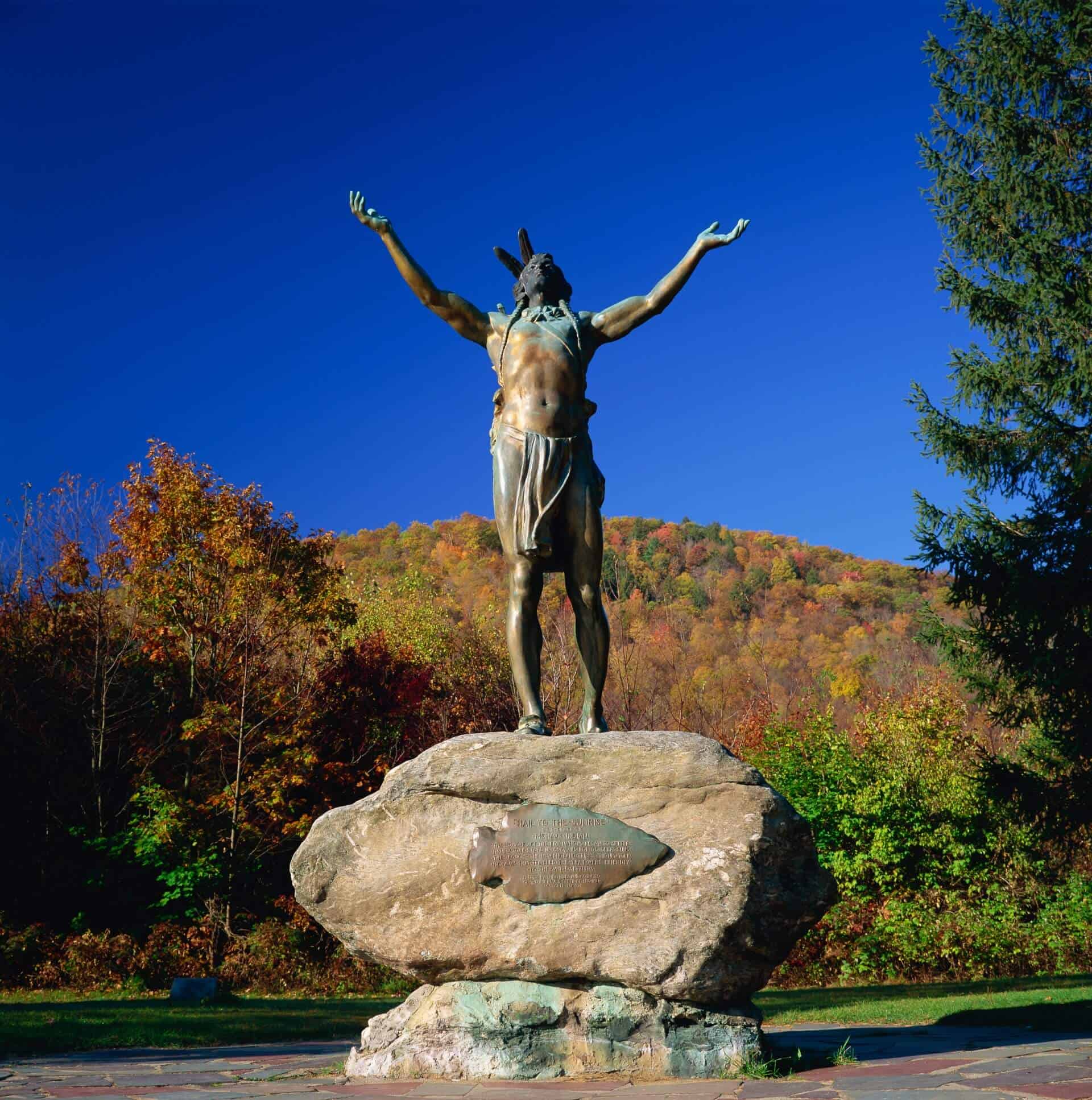
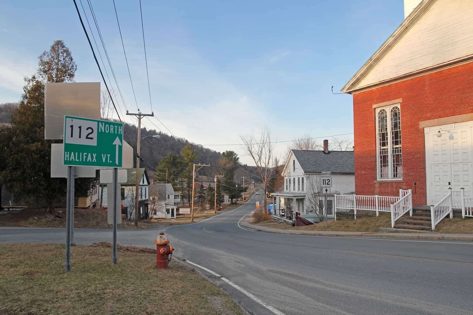
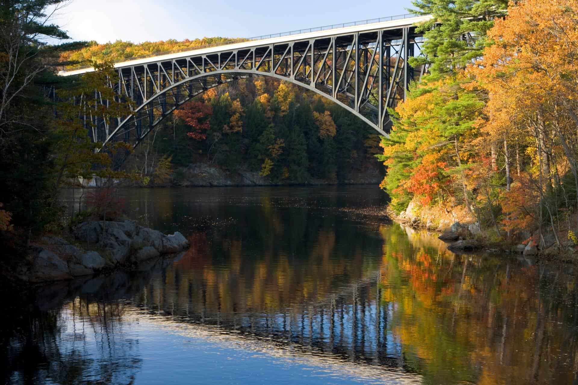
 Town of Shelburne is located west of Greenfield. Its countryside landscape is considered the most beautiful areas in Franklin County and admired by many who visit here.
.jpeg)


Connect