

Bernardston

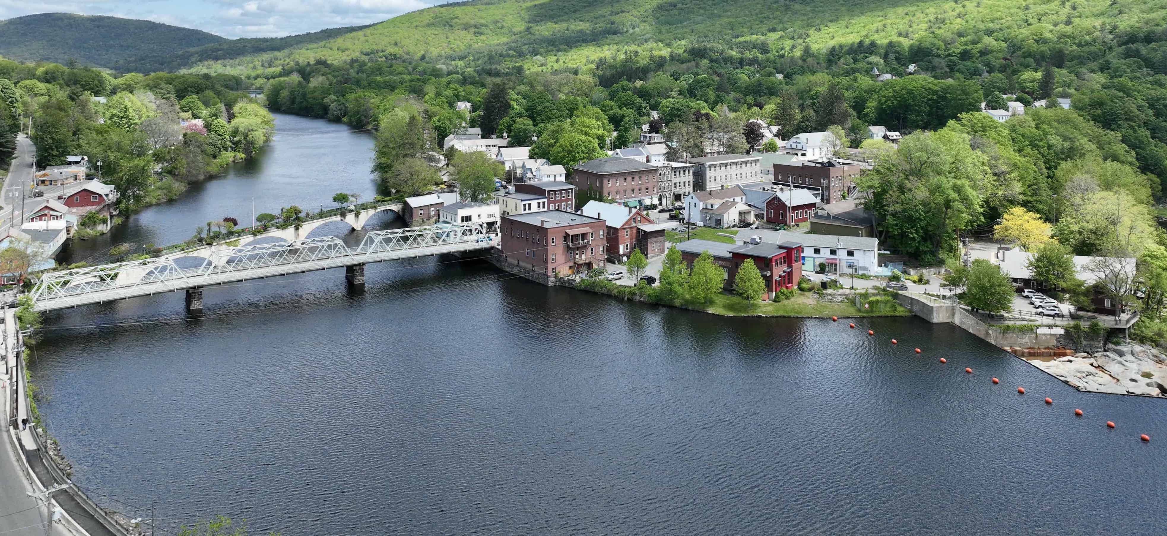
Bernardston is a small rural town in western Massachusetts, located north of Greenfield and abuts the Vermont state line. The town is 23.4 square miles in area, with a population of approximately 2100. It is conveniently located with major roads that go through the town and include Route 5, Route 10 and I-91.
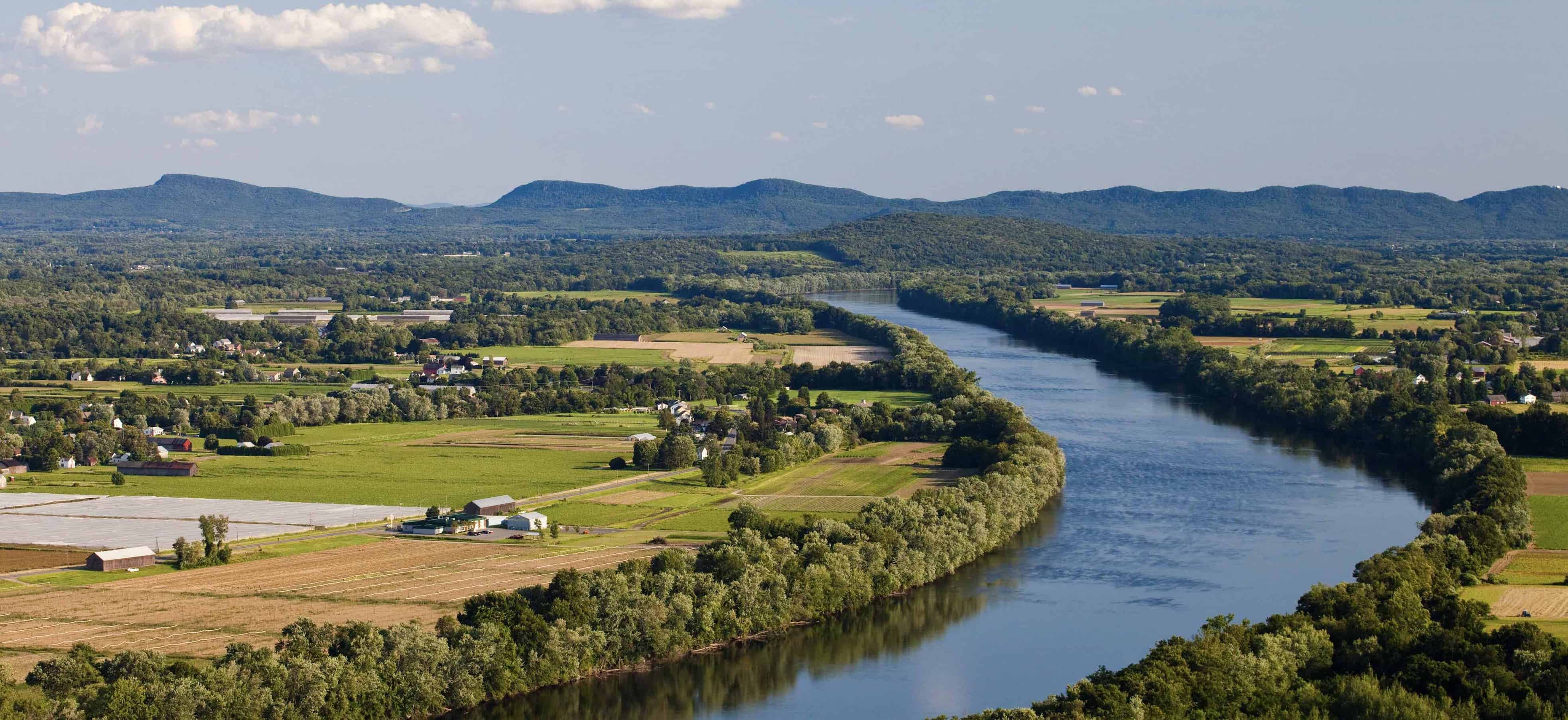
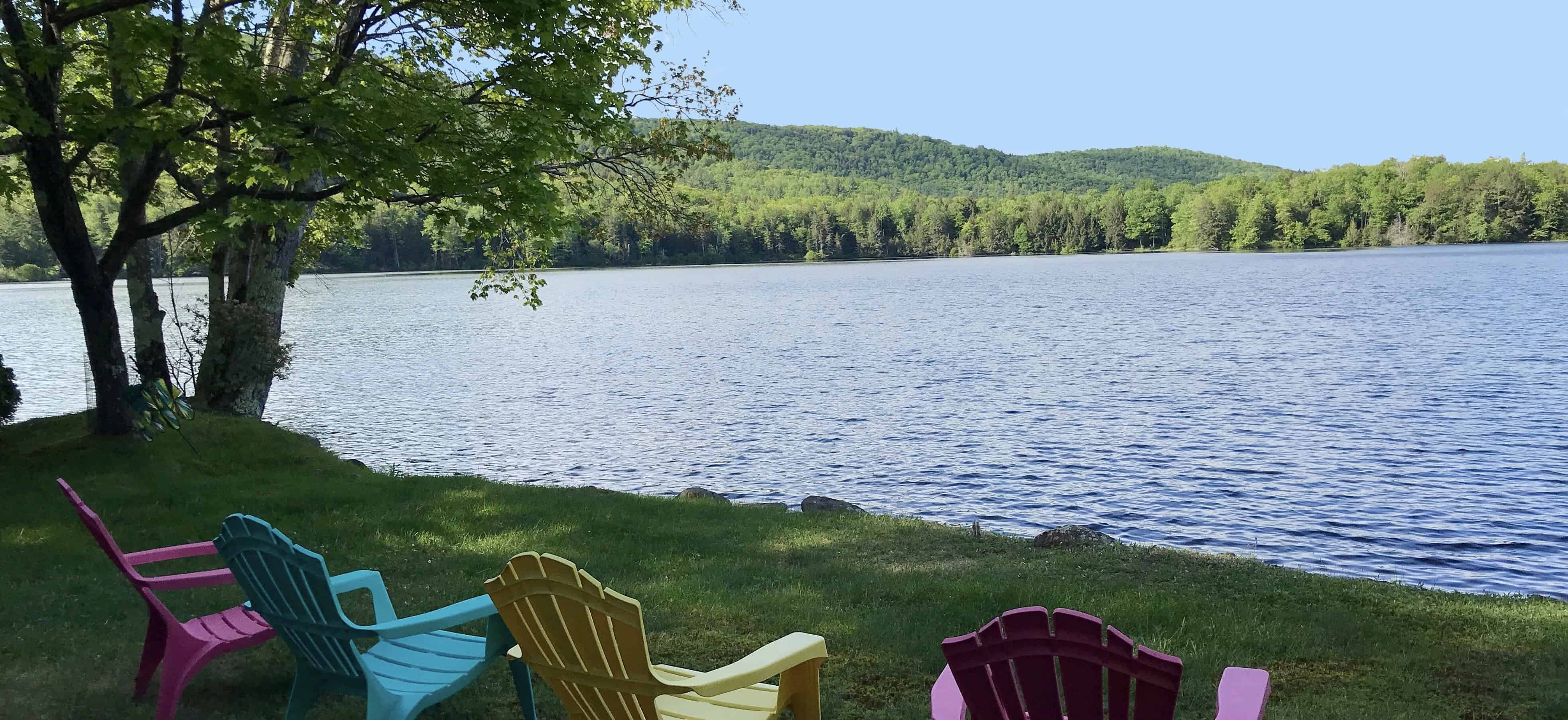
Bernardston consist of rivers and streams that flow from an extensive network of springs in the hills and mountains. It values its history and rural New England landscape, while maintaining its historic open spaces and recreational areas.
Town/Cultural Events
The Bernardston Kiwanis hosts the Scarecrow in the Park Contest, an annual event, at Cushman Park as a fundraiser for the Scholarship Fund. An annual contest for the best scarecrow is just one part of this event, which also includes food and craft vendors, live music, hayrides, hands-on activities and more. Check out their Facebook page here!
The Bernardston Flea Market & Gas and Engine Show is held every Memorial Day weekend and it is a local favorite and people also travel afar to check it out. Mark your calendar and check out updates on the Facebook page here.
The Bernardston Farmers' Market takes place on Saturdays from May to October. Many local farms come out to sell their local products.
Bernardston Historical Society Museum located on Church Street. The building once housed Powers Institute, which was founded in 1857, and includes memorabilia from the school. includes memorabilia from the Powers Institute school. The collection also includes farm and household tools, textiles and a Luman Nelson collection of small animals and birds.
The Outdoors
The Travelers Woods of New England is a beautiful, well-manicured campground offers RV parking and tent camping. It is convenient to major attractions and near I-91.
The Falls River runs from Vermont south to the Connecticut River, traversing the length of Bernardston. The stream is annually stocked with trout and also has popular swimming holes.
Bernardston is also home to The Crumpin-Fox Club, is a challenging 18-hole championship golf course designed by Robert Trent Jones Sr. surrounded by beautiful landscape.
Local Favorites
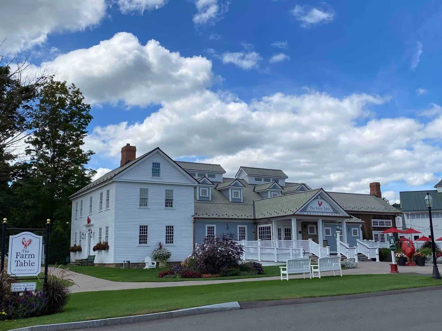
Kringle Candle flagship store is located on South Street in Bernardston. It is a great place to shop for candles and home decor.
Sweet Lucy's Bakery is everyone's favorite for sweets!! They serve high-quality breakfast pastries, cakes, tarts, pies and other sweets, with a fresh and modern twist. We also supply local restaurants, catering companies and coffee shops with wholesale desserts and pastries. Sweet Lucy also offers fabulous cooking classes that sell out quickly so sign up early! The bakery is located off I-91 at 7 South Street and well worth the trip!
Love ice cream? The Townline Ice Cream is located just south of Bernardston on Route 5.
Bernardston is also home to The Crumpin-Fox Club, a challenging18-hole championship golf course with a beautiful landscape.
There are two pizza places in Bernardston. Antonios located 1 South Street in Bernardston and Hillside Pizza is located at 77 Church Street.
The Marshall's Country Store is located at 44 Church Street. Great little market that has everything you need including a deli!

Real Estate Listings
If you are looking to buy a single family home, land to build your dream home, farm, or second home in Bernardston, Mass, click here for the latest list of what is currently on the market. You can also contact Wanda Mooney to learn more about the area and the process of moving.


Connect